Orbital Intelligence System
High-resolution Earth Remote Sensing
for quasi-continuous monitoring of specified areas based on a swarm of satellites with optical-electronic sensors, SAR devices and proprietary receiving & transmitting stations
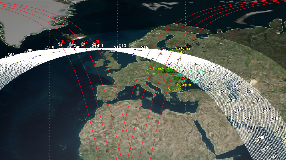
System of 72 Satelites to Cover the Macroregion
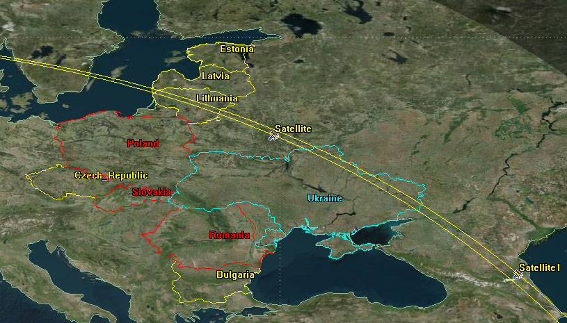
Group of 72 spacecraft, to be located in two orbits with an altitude of 500 km and an inclination of 60°, are capable of surveying almost 82% of the territory of the Intermarium countries in one day*
In the calculations, a spacecraft sensor with an angle of 1° was used, typical for BSA with a resolution of 50 cm.
The space constellation will be tasked with observing a certain territory.
One spacecraft, located in an orbit with an inclination of 60°, in 1 day can potentially conduct a survey of the territory of the specified states in 4-6 turns with a coverage of ~ 1.6% of the territory.
It is almost impossible to achieve 100% coverage in one day.
A further increase in the number of satellites gives a slight increase in the coverage percentage
Relevance
The Intermarium states have no proprietary space systems satisfying the needs for the periodic observation determined by the needs of economy and national security.
The creation of such a system will turn Intermarium into an innovative space macroregion and ensure its subjectivity in the decision problems and challenges of defense and economy.
Economic development: the system will be useful for the agro-industrial sector, forest protection and processing, ecology and nature management, logistics, etc.
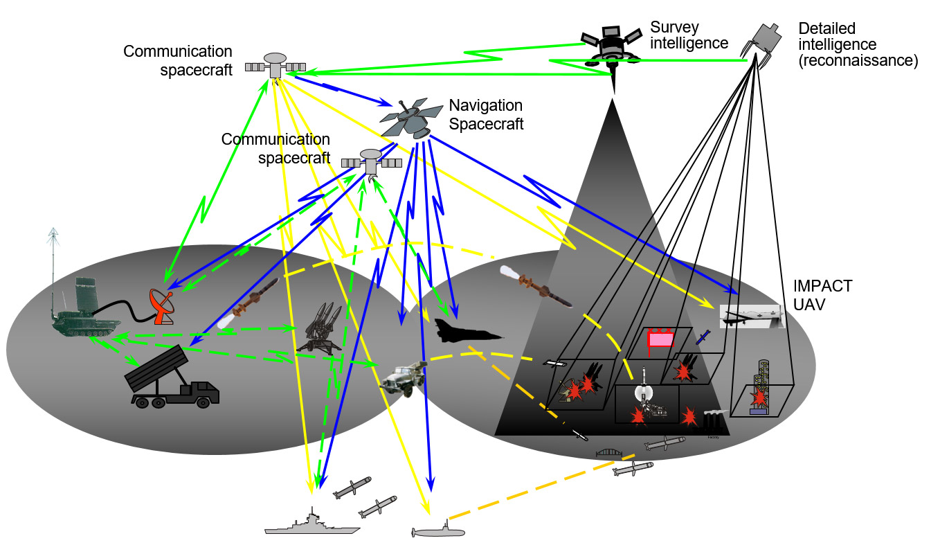
National security and defense - to receive detailed and timely information for the execution of combat tasks at levels from strategic to tactical with distribute it to users with minimal time delays; can also solve a number of urgent issues of intelligence and information provision of anti-aircraft (anti-missile) defense and complement the relevant systems.
The deployment of such a system will allow to gain a significant advantage over the adversary, by providing up-to-date and operational information regarding:
- Logistics to inflict combat damage to the adversary
- The accumulation of military equipment and weapons of the enemy
- Potential lines of deployment of enemy forces
- Monitoring in the interests of given zones ( districts ). national security and defense for security forces departments
Architecture of the System: Space&Ground Segments
The space segment
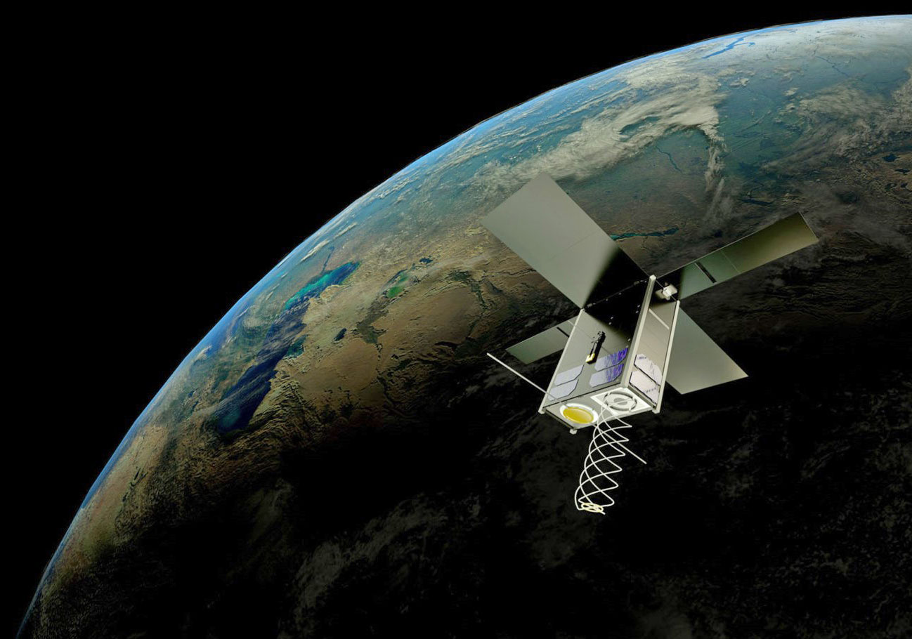
includes a grouping of optical-electronic satellites with a spatial resolution of up to 0.5 m/ pixel and SAR satellites, quasi-continuously monitoring certain areas of the Earth and the world ocean.
The ground segment
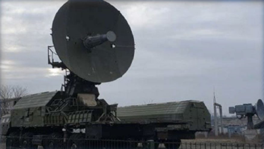
ensures prompt reception and processing of data, ensured by a number of proven technical solutions and know-how in the design of spacecraft, new materials, optical-electronic and SAR tools.
A magnetometer, solar coordinate sensor, star sensor, GPS, GALILEO
are used as an orientation and navigation system. All technological solutions of the system construction and its components, have a flight heritage/are patented.
Partners will receive information
through their national hubs (ground component of the system) or/and from other partners.
© 2023 Baltic Orbital Services
All Rights Reserved

